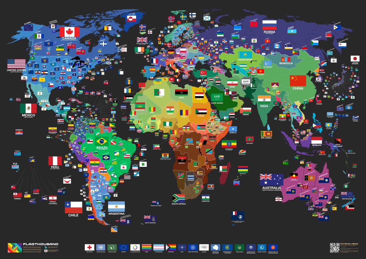

Flag Thousand — the world's largest flag map poster.
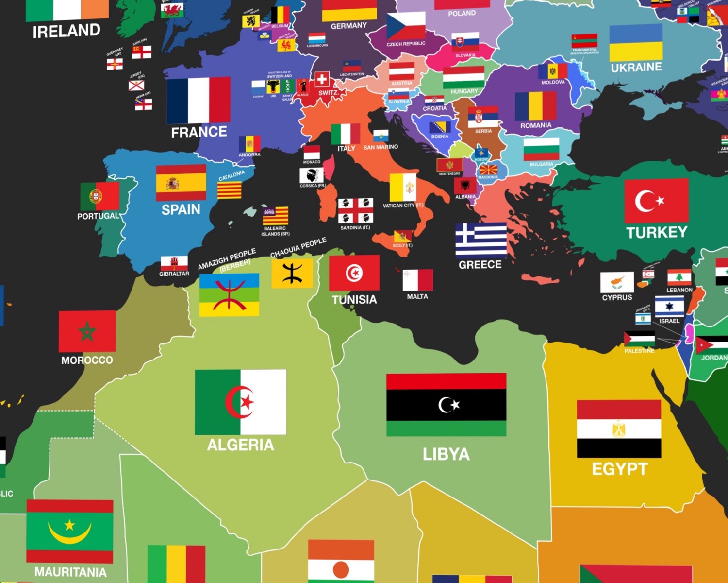
The goal of Flag Thousand is to map all the world's flags onto a single poster. This map shows not only country flags, but also state flags, province flags and a lot of city flags, too. And you can buy it!
Here's a few things you can do here.
- Zoom in close. Scroll to zoom, drag to move around, see every flag in detail on the map. Pinch does the same on a trackpad or phone.
- Click any flag and the sheet tells you whose it is — all 861 are wired, and more to come with information about each.
- Search for one. Use the search box at the top-right to find any country or subregion flag quickly.
- Get it on paper. The whole sheet prints A0 — about 47 × 33 inches. Buy the poster and it ships free.
Cool, but why did you make this?
I wanted to help people learn all of the flags (including me, too). I found that learning the geography and flags of the world helps you connect with people in a small way. Like if you meet someone from Yaroslavl, Russia, it's nice to be like “Oh yeah, I love the bear flag” and they're like “How tf do you know this” xD
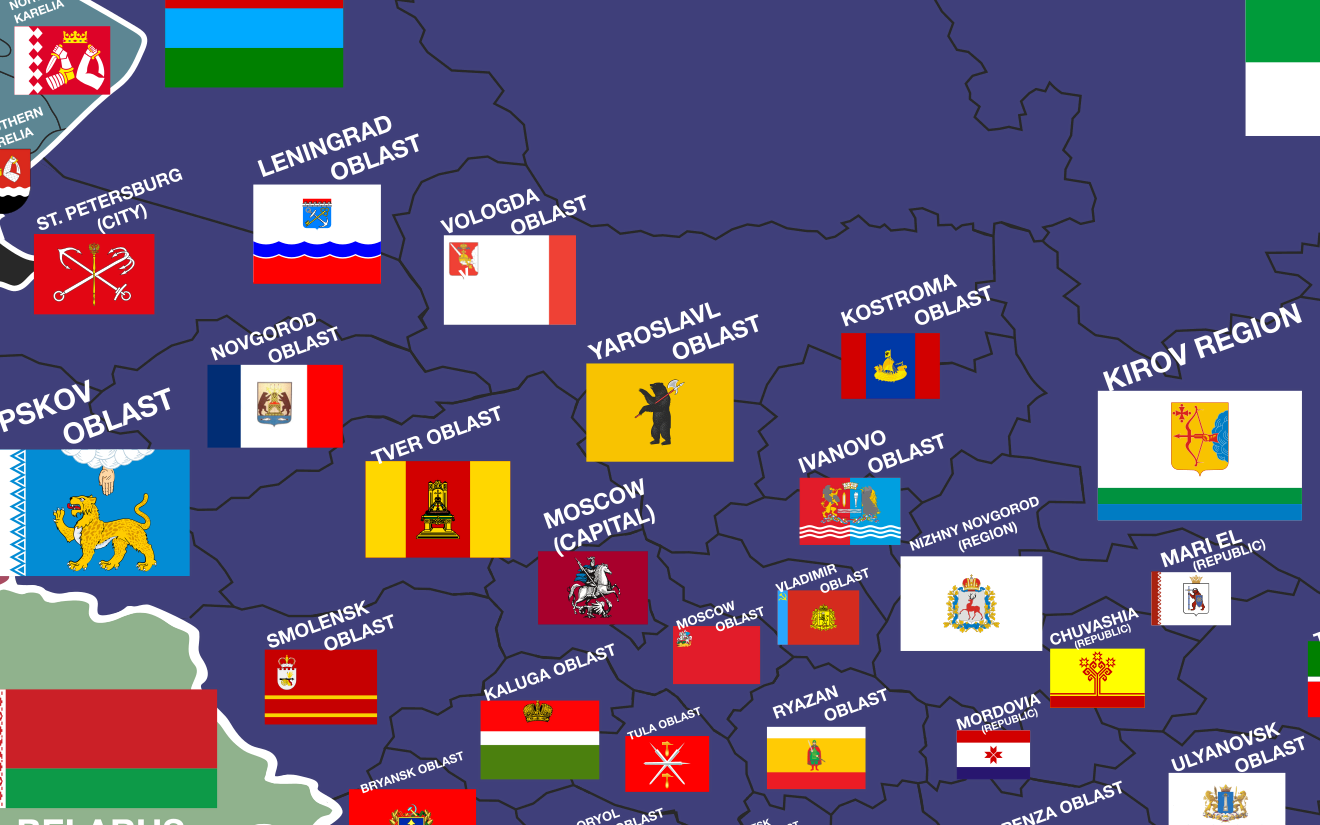
How did you make this?
I plotted each flag by hand and did my own custom map projection to make it fit. I used Adobe Illustrator, starting the project around 2010. At first it ran on Daniel Gasienica's OpenZoom project. Over the years it's been through a few different setups, and Flagthousand currently runs on a custom OpenSeadragon setup, with flags sourced from Wikimedia Commons.
I also really wanted to have this as a physical object so that I could always glance at it for reference. I've had it printed at a number of different places, but I currently use Gelato. That lets me update it often and have it printed on demand at local print shops, so it can ship to people all over the world.
Wait, I can buy it?!
Yes! It prints as one huge A0 sheet — 1189 × 841 mm, about 47 × 33 inches — on 170gsm coated silk. Having this on the wall is a lot of fun; people stand in front of it and hunt for flags they know. You can buy it here, and shipping is free.
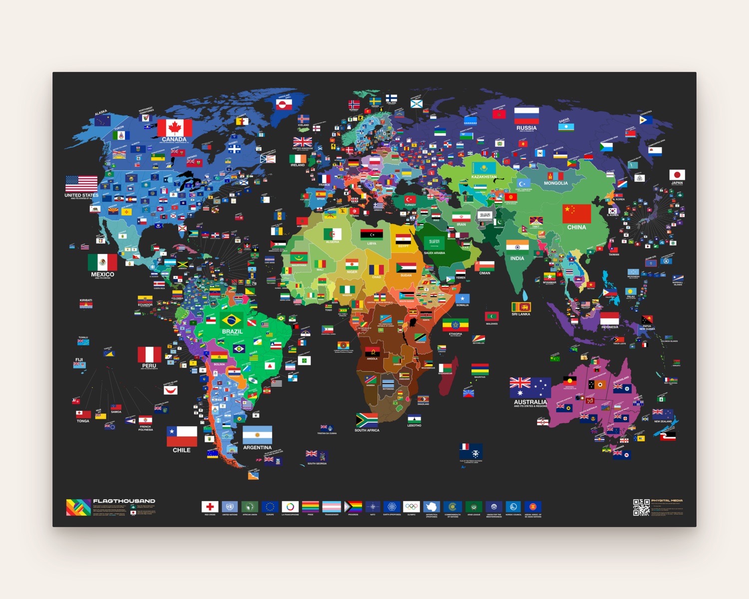
Getting one on the wall
It's printed to order at whichever press is nearest to you and posted from there, so it travels a short way rather than a long one.